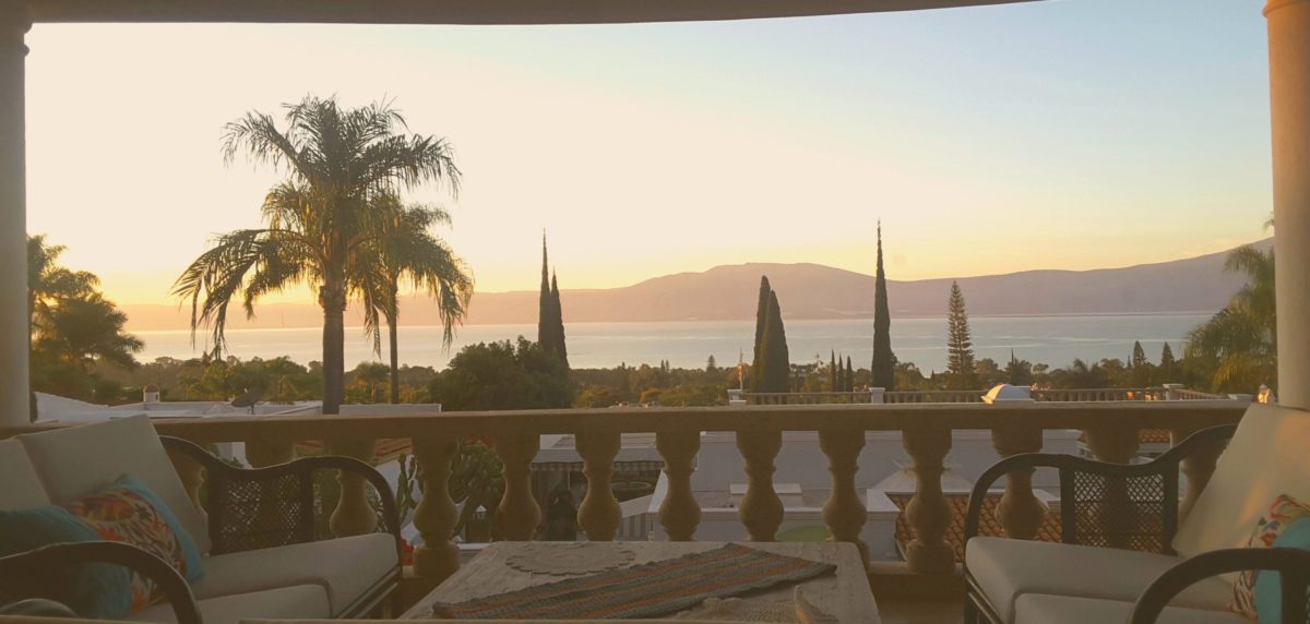

If you check out social media, you’ll sometimes see a new expat ask about the pollution of Lake Chapala, with long-timers chiming in with their favorite (often unsourced) rumor: “It’s a cesspool!”, “full of toxic metals,” “locals swim and fish in it all the time,” or “better than some beaches in southern California” are some of the more frequent responses.

Let’s review the bidding, with sources, por favor. First, the basics. Lake Chapala is Mexico’s largest freshwater lake, approximately eighty miles long and eight miles wide (bonus question: what is the largest freshwater lake entirely within the United States? Lake Michigan, which is seventy-five times larger than lake Chapala). Lake Chapala is the remnant of a much larger lake system that used to cover much of the region, evidenced by several seasonal or dry lake beds in local low-lying areas. Lake Chapala formed in a mountain-ringed basin fed by the Rio Lerma, a river which runs east-to-west and is part of a water shed including León, Querétaro, and even the suburbs of Mexico City.

The lake is shallow, averaging only about seven meters in depth, with a top depth of only approximately ten meters. Newcomers who notice the distinct haze over the lake in the drier months should disregard those who claim it is airborne pollution; there is not enough industry or agricultural burning to create this haze. It is simply the effect of water, dry air, and direct sunlight: evaporation. Local farmers do burn-off stubble every year, but it is primarily in the Spring and can easily be identified by the odor.
You will also hear locals discussing the importance of the rainy season for “filling the lake,” and this is true, to a point. The lake varies between sixty and eighty percent fill, and the shoreline moves considerably since the lake is so shallow. However, direct rainfall in the lakeside area is far less important to the lake fill-rate than rainfall upstream along the Rio Lerma. Dams and reservoirs along that river fill up during the rainy season, and when full, discharge water down to the lake. You can also tell when those discharges occur because they are often accompanied by massive isles of lirio (water hyacinthe) which have to be manually removed.

Lake Chapala formerly drained into the Rio Santiago, again at the estern end of the lake near Ocotlán, but the direct flow of lake water into that river dried up decades ago. While some discharge no doubt still leaks through, lake Chapala is essentially endorheic, meaning it loses water solely through evaporation or water removed by humans for treatment. The lake is the primary water source for Guadalajara, a city with five-and-a-half million people. The lake also is the primary cause of the famed local micro-climate, a mild, semi-tropical highland climate moderated by both elevation (mile-high) and the lake.

As the chief source of drinking water for Guadalajara, Mexico’s second-largest city, the quality and purity of the lake is a source of major political concern. The lake is tested repeatedly and the water removed via an aqueduct near the city of Chapala is treated to ensure its safety. Yet the municipal water quality in Guadalajara is variable and often terrible. Some areas in the city have dealt with brown, odiferous tap water for years. This is not due to the quality of the lake, but rather the quality of the water transportation and treatment systems. The aqueduct from Chapala is over thirty-five years old, approaching obsolescence, and wastes over forty percent of the water removed. Meanwhile, the Guadalajara metropolitan area continues to experience rapid population growth, and the Jalisco government is considering building a new aqueduct, which might reduce water waste but could also permit greater removal of the lake’s limited resources.
What about pollution? The major cities mentioned earlier and their associated agriculture and industry discharge pollutants (fertilizer, heavy metals, sewage) into the Rio Lerma, and thence lake Chapala. There are also about 300,000 people living at or near the lake, and again pollution levels are worse near the major municipalities: Chapala, Jocotepec, Ocotlán, Ajijic. The lake suffers from concentrations of Cadmium (Ca), Chromium (Cr), and Lead (Pb). The former is concentrated near the mouth of the Rio Lerma, which is likely the source; the latter two are concentrated near lakeshore towns, probably the result of untreated municipal runoff. The Cadmium appears to be from historical discharge prior to 2006; the Chromium and Lead continue to enter the lake as Mexico has no requirement for pre-treatment of such pollutants.
Runoff from agricultural fertilizer is also prevalent throught the lake, due to the large amount of phosphorous and nitrogen fertilizer used by local farmers. This runoff contributes to unhealthy nutrient concentrations, which feeds extreme algae growth and fuels the lirio, although some environmentalists believe the lirio also remove some pollutants back out of the water.
Likewise, high fecal colifor levels are noted near lakeside towns due to excess runoff during the rainy season, when the sudden/large volume of rain overwhelms sewage and discharge channels, moving all manner of human and animal waste directly into the lake. This is a normal phenomenon, and occurs throughout the globe. When people say the lake’s pollution levels are “better than some California beaches” they’re essentially correct, because beaches near towns or cities worldwide suffer the same problem. But in both (or all) cases, it is a temporary issue.
All that said, you’ll still see people swimming in the lake, fishermen out with nets in the water, and lakeside towns selling charales and other lake fish for human consumption; what gives? The studies confirm what the locals already know. You’ll see far fewer people in the water at the eastern end of the lake, where some of the worst pollution is concentrated. For fish, the studies show carp and other bottom-feeders are the types most likely to have harmful concentration of pollutants, but the fishermen catch and serve the tilapia and charales that are safe. All along the lake, locals know not to enter the water immediately after a strong rainstorm near a town, because that’s when the water is most polluted. Ignore this common wisdom and you’ll get a rash or worse.
The lake does have some contamination, but the levels are generally not serious, at least away from the Rio Lerma and lakeside towns after storms. Some fish are safe, others are not. Plenty of people boat, fish, and kayak with no problem in the lake. The shallow nature of the lake–as well as the tendency for locals to leave things in the water (fences, for example) when the lake reclaims the shore–makes it less inviting for swimming. Like any precious resource, it needs to be monitored and protected. But it’s neither a cesspool nor pristine.
For those interested in some of the many studies about the lake, here are further sources: